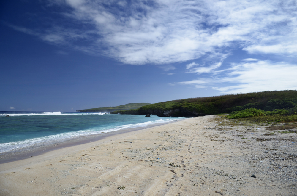
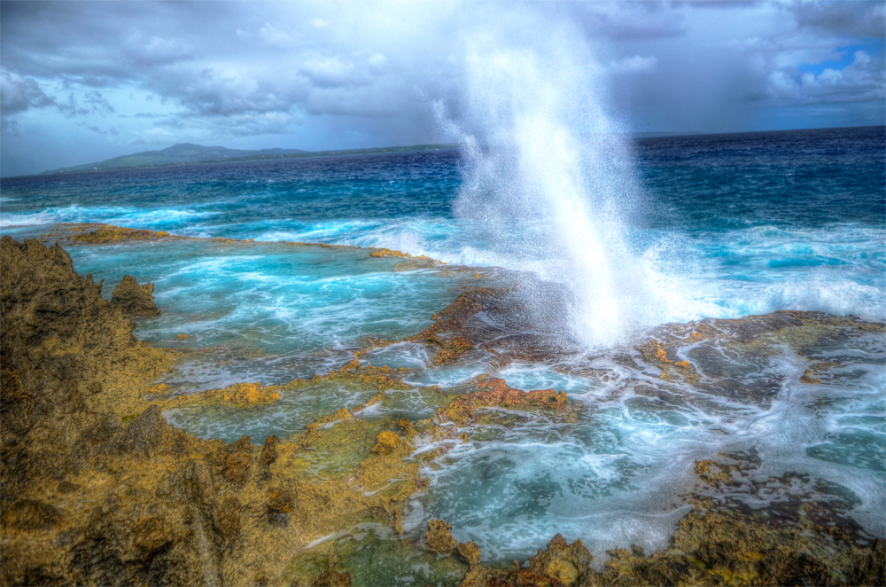
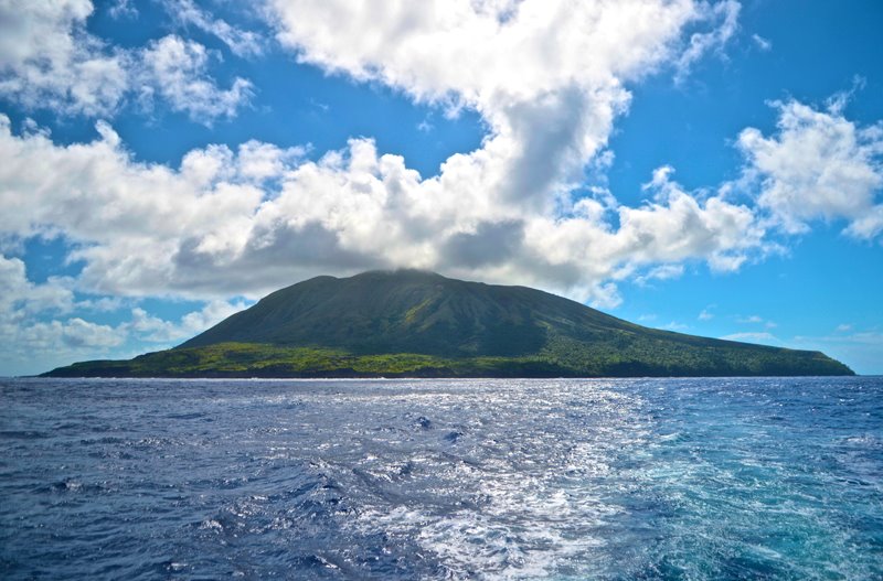
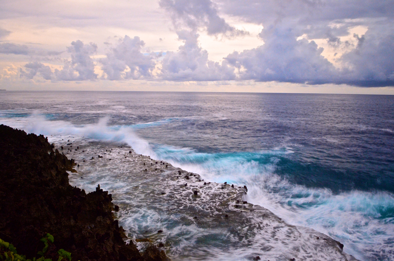
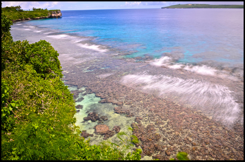
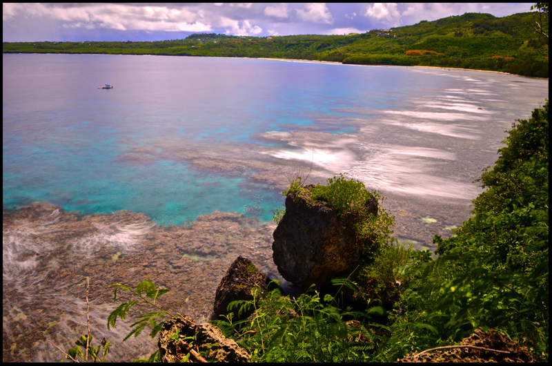
I recently returned from a trip up to Maug, an island apart of the Northern Mariana Islands chain. It is roughly around 330 miles North of Saipan, surrounded by Uracas (North of Maug) and Asuncion (South of Maug). Years ago, the island used to resemble a cone-shaped volcanoe that can be found through out the Northern Mariana Islands chain. After an obvious violent eruption, the remote island transformed into the three islands that can be seen to this day. The topography of the island is very rugged. Steep hills and sheering volcanic ridges pattern all the islands. There are certain areas where vertical ridges protrude outward from the islands.
island scenes
August 14, 2013 – Wednesday
GuamA Beach on the island of Tinian, Northern Mariana Islands
Beach, Island, TinianEmbarked on a day trip to the island of Tinian, Northern Mariana Islands. This island is located less than a mile away from Saipan. This island possesses historical significance as it was used to store the atomic bombs during WWII.
Blow Hole, Tinian, Northern Mariana Islands
Beach, Island, TinianThe famous “Tinian Blow Hole”. Located in the North, North East side of the island. Be cautious as you investigate the scenery due to the unpredictability of the ocean.
Alamagan, Northern Mariana Islands
Beach, Island, Northern IslandsOne of the islands where the Super Emerald transported cargo from Saipan to the island’s inhabitants. The current population of Alamagan is 2.
Luta 2012
Island, RotaA variation between HDR and simple imaging…