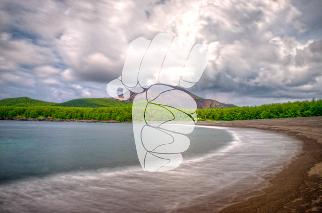
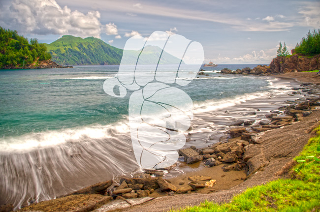
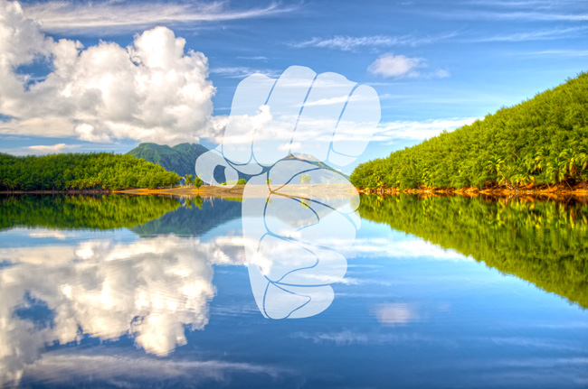
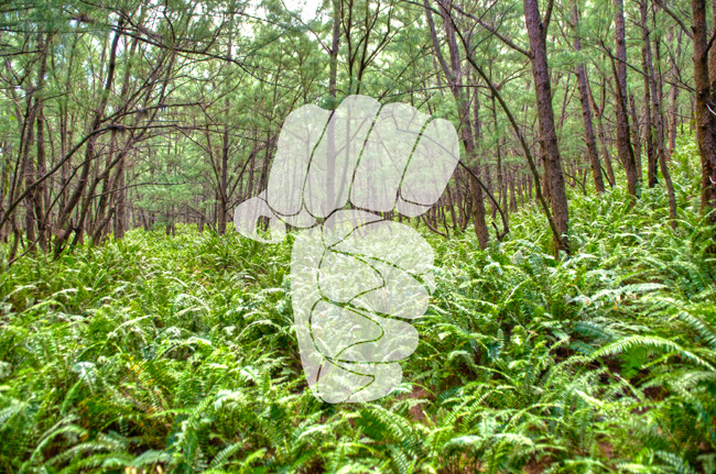
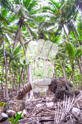
A gallary of pictures from the island of Pagan in hopes to spread more awareness of the beauty of the Northern Mariana Islands, specifically Pagan.
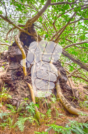
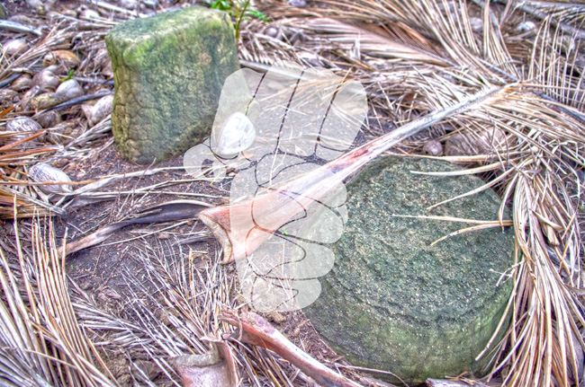
The latte stone represents the strength of our ancestors.


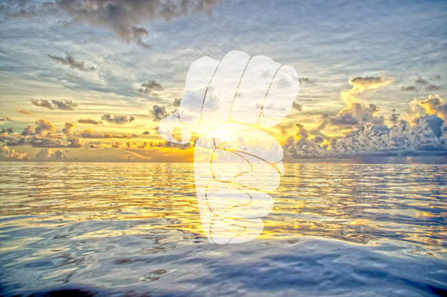


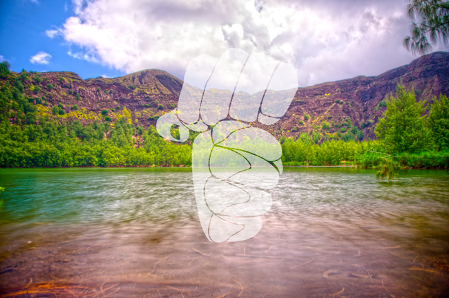

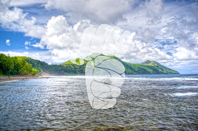


A gallary of pictures from the island of Pagan in hopes to spread more awareness of the beauty of the Northern Mariana Islands, specifically Pagan.
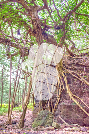
The latte stone represents the strength of our ancestors.
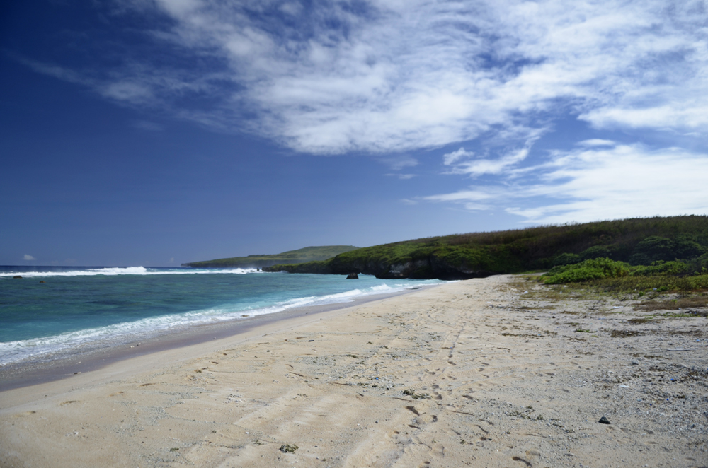
This photo was taken on the island of Saipan. I am no geologist, but imagine Saipan as a very old reef that used to be submerged beneath the ocean. Unlike the other islands that make up the Northern Mariana Islands Chain, Saipan’s geology is mostly limestone. From what I have been told, during the Holocene period, there was a massive earthquake caused by the subduction of the Pacific Plate and the Phillipine Plate. As a result, the Northern Mariana Islands were created, followed by a very deep trench that we know today as the Marianas Trench, the deepest place in the world. If you look at the pictures below, you can see the old reef (sharp, jagged rocks to the left) and the current reef/tide table to the right. I travel to many islands in the Mariana islands chain and I always ponder the formation of the geology of each island because they are so unique to each other…


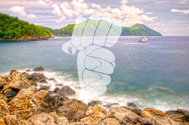
Embarked on a day trip to the island of Tinian, Northern Mariana Islands. This island is located less than a mile away from Saipan. This island possesses historical significance as it was used to store the atomic bombs during WWII.
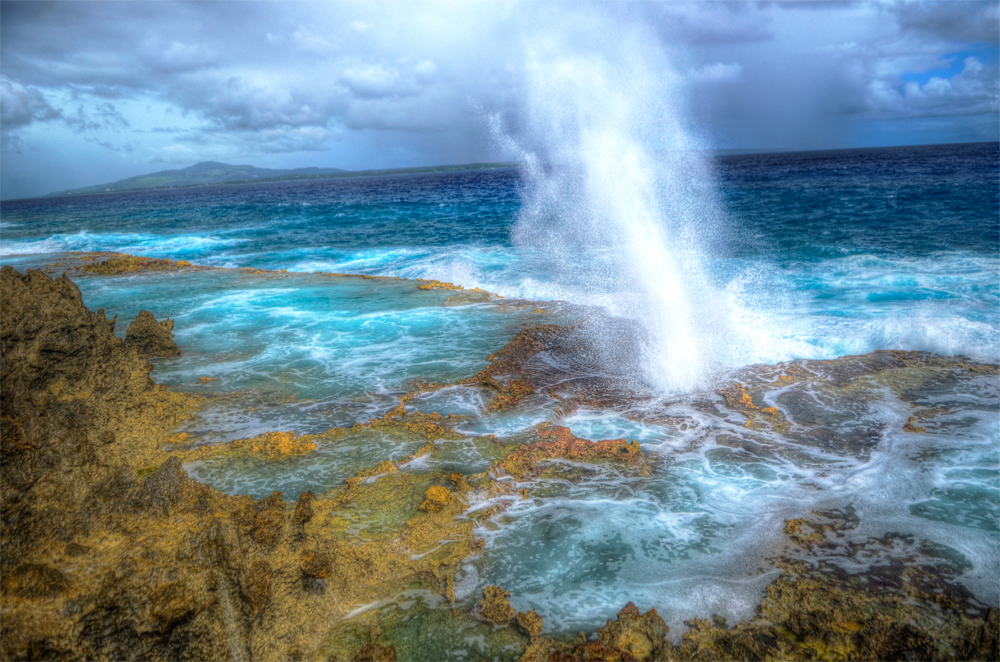
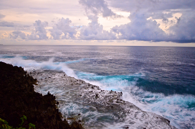
The famous “Tinian Blow Hole”. Located in the North, North East side of the island. Be cautious as you investigate the scenery due to the unpredictability of the ocean.
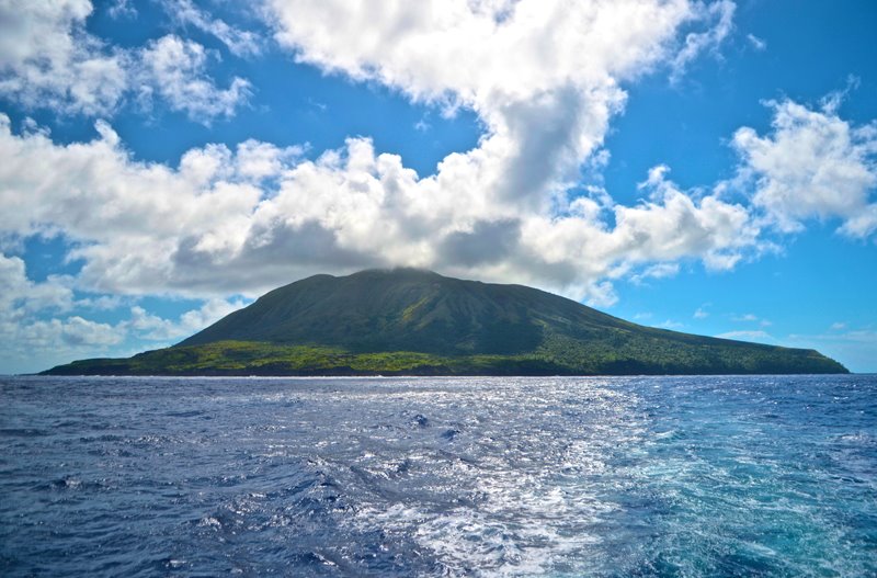
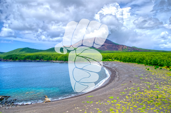
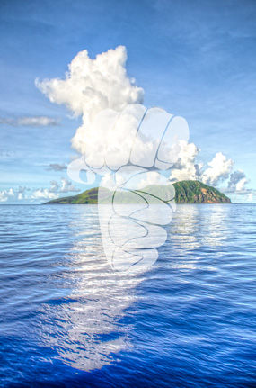
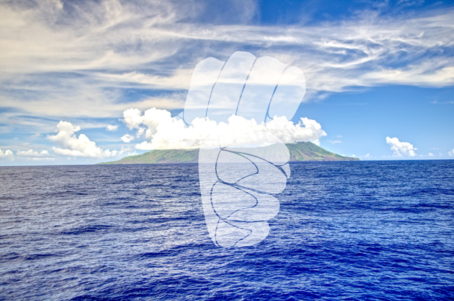
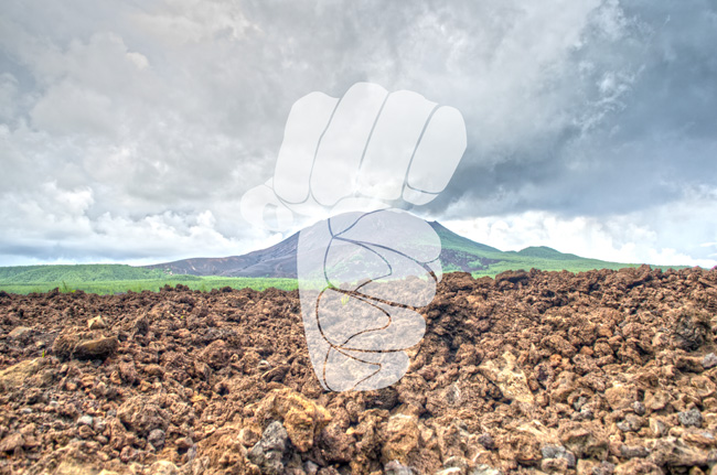
One of the islands where the Super Emerald transported cargo from Saipan to the island’s inhabitants. The current population of Alamagan is 2.
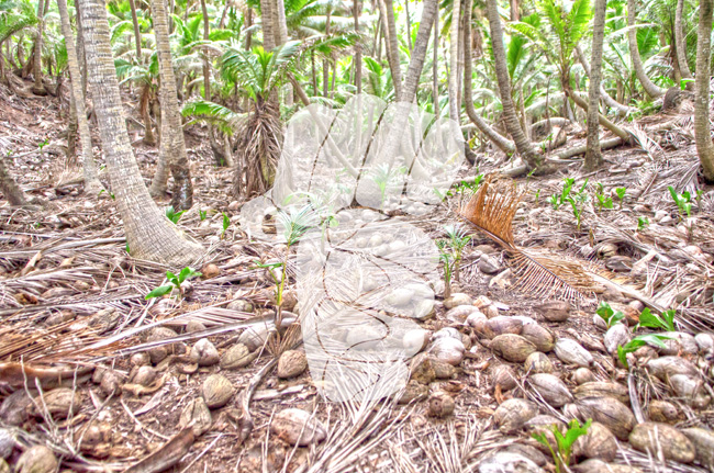
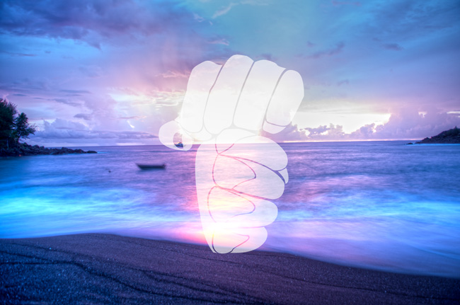
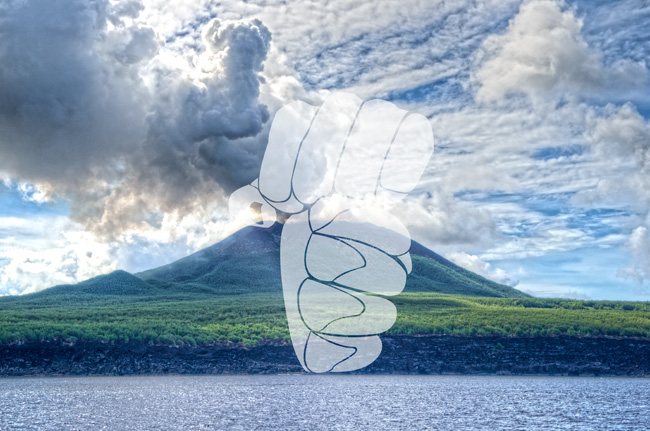
A variation between HDR and simple imaging…